


Brandy Point #1
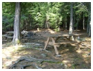
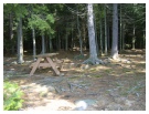
Size of Tent Pads: 2-12x12 2-8x8 *rocky
Distance to Office/Boat Landing: 2 ½ Miles to office, 4 miles to Bemis boat lunch, 6 ½ to Haines landing
GPS Coordinates: 44°53'41.6"N
70°49'43.5"W
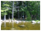
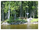
Shoreline: Rocky with patches of small pebbles
Boat Access: Watch for rocks they are everywhere on the way in, this is a tricky spot to land anything but a canoe. The best spot is to the left of the fireplace as you approach from the water. Best thing to do is land at Brandy #2 and walk over.
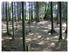
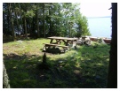
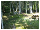
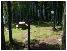
Description: This is a group-sized site with views of the southern shore of the lake and close proximity to the dam. The site is protected from the wind, but the shore can be pounded, so pull up your boat and secure it well. The site is heavily wooded and so is quite shady; however, when the water is low there is plenty places on the shore to bask in the sun. The outhouse is closer to Brandy#2 then this site.
Brandy Point 1 & 2
 Return to Campsites
Brandy Point #2
Size of Tent Pads: 10x10 8x8
Distance to Office/Boat Landing: 2 ½ Miles to office, 4 miles to Bemis boat lunch, 6 ½ to Haines landing
GPS Coordinates: 44 53'44.3"N
70 49'40.7"W
Shoreline: Rocky with patches of small pebbles
Boat Access: Land to the left of the fireplace. There is a submerged rock jetty to watch out for, but otherwise no obstructions.
Description: This is a small, private site that receives the morning sun. This east facing site provides views of Students Island, the eastern shore, and the Height of the Land. This site is always protected from the wind regardless of direction. The outhouse is closer to this site then Brandy#1